Embracing the Future Through In-House LiDAR Capabilities
Long before 3D modeling was commonplace in the engineering world, JEPCO embraced it when we were founded in 2005. Since then, we’ve developed in-house LiDAR capabilities and prioritized utilizing new technology to better serve our clients.
Integrating in-house LiDAR technology with our engineering services has propelled projects to new heights and redefined the standards of efficiency and accuracy within our 3D modeling, design and construction processes.

How JEPCO’s In-House LiDAR Capabilities Benefit Your Project
By utilizing in-house LiDAR technology, our team conducts a highly efficient and effective scanning process. On one project, another company took a day to complete 42 scans for our client, while the JEPCO team completed 30 scans in only two hours.
Not only does our in-house LiDAR technology save time during the data collection process, but during the retrieval process as well.
With in-house LiDAR capabilities, we can deliver your data in half the time it takes a third-party vendor. By retrieving all the data we need in a single trip, we don’t have to hit pause on your project, saving you from costly downtime.
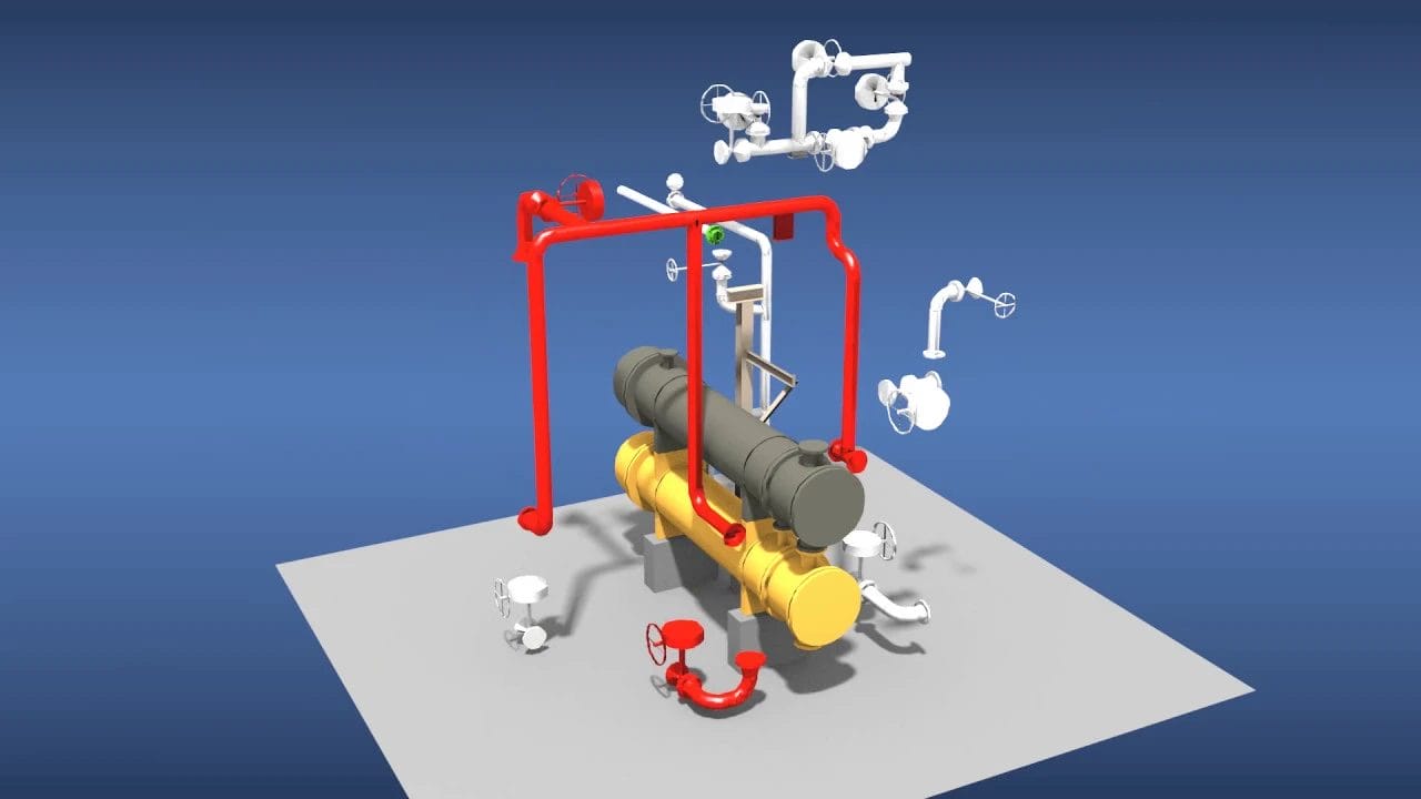
From pump outlets to entire facilities, our team has extensive experience using LiDAR technology on projects of all sizes. Additionally, our team’s diverse engineering backgrounds can provide you with a holistic view of your project rather than insight from a single engineering discipline.
JEPCO takes a consultative approach to digital scanning. We look beyond the problem at hand and dig more deeply to assess your systems’ civil, structural, electrical and mechanical components to prevent future issues. While other companies may solely focus on the task in front of them, at JEPCO, we pride ourselves on creative problem-solving and expert insight drawn from years of hard-earned experience.
JEPCO’s use of in-house LiDAR technology within civil, structural, piping/mechanical, electrical and other engineering disciplines lends itself to fewer field modifications and change orders throughout a project’s life cycle, improved safety through fewer field visits and the highest levels of efficiency and accuracy for our clients.
The bottom line? We save you plenty of time and money while getting the job done.

Brian Akers
Piping Design Manager
JEPCO’s use of in-house LiDAR technology within civil, structural, piping/mechanical, electrical and other engineering disciplines lends itself to fewer field modifications and change orders throughout a project’s life cycle, improved safety through fewer field visits and the highest levels of efficiency and accuracy for our clients.
The bottom line? We save you plenty of time and money while getting the job done.
JEPCO’s In-House LiDAR in Action
Case Study 1 – Utah Gas Production Facility
A Utah gas production facility identified a fire risk associated with black wax pumps located within a containment area. JEPCO performed high-resolution 3D laser scanning of the existing conditions and developed a relocation layout that removed the pumps from the containment while maintaining required gravity flow and operability.
Case Study 2 – Mineral Processing Facility
A mineral processing plant required assistance tying in small-bore piping and installing level indicators where existing lines converged at unfavorable angles. JEPCO mobilized to the site, captured a 3D scan of the area and used the model to resolve tie-in geometry and routing constraints, enabling the client to complete the installation within weeks.
Case Study 3 – New Mexico Diesel Production Facility
A diesel production facility needed to route a new 4-inch process line into two units through a fully congested pipe rack with limited available pathways. JEPCO used LiDAR scanning to model existing conditions, evaluate routing options and identify a constructible path, allowing a new bypass to be installed without rework or rack modifications.


What is LiDAR and How Does It Work?
LiDAR stands for Light Detection and Ranging. While sonar uses sound waves and radar uses radio waves to measure distance, LiDAR uses light from a laser.
The most accurate tool out of the three, laser light is monochromatic, coherent and directional, unlike white light. This means that laser light contains one wavelength, and all photon movement is coordinated, resulting in an extremely narrow, concentrated and high-intensity beam of light.
So, how is LiDAR used to create such precise 3D images?
A LiDAR scanner emits a laser pulse and measures how long it takes for the laser beam to return to the sensor. It creates a variable distance between objects, getting a sense of the terrain and its surroundings.
LiDAR sensors also measure the color and intensity of the pulse when it’s reflected back, identifying the material the object is made of. After the data is collected, it translates into a 3D point cloud, allowing the images to be processed by a computer to determine the object’s measurements.
In a world where technology is constantly evolving, JEPCO’s ability to adapt to and embrace new technologies allows our clients in the refining, petrochemical, midstream, mining and industrial spaces to have a competitive advantage within their respective industries. By utilizing in-house LiDAR technology, JEPCO provides customized solutions for our clients in significantly less time for a lower cost.
At the end of the day, our main goals are to provide the highest-quality services to achieve the highest level of client satisfaction. With our in-house LiDAR capabilities, we’re able to do just that.
Reach out today to see how our LiDAR capabilities may benefit your project.


